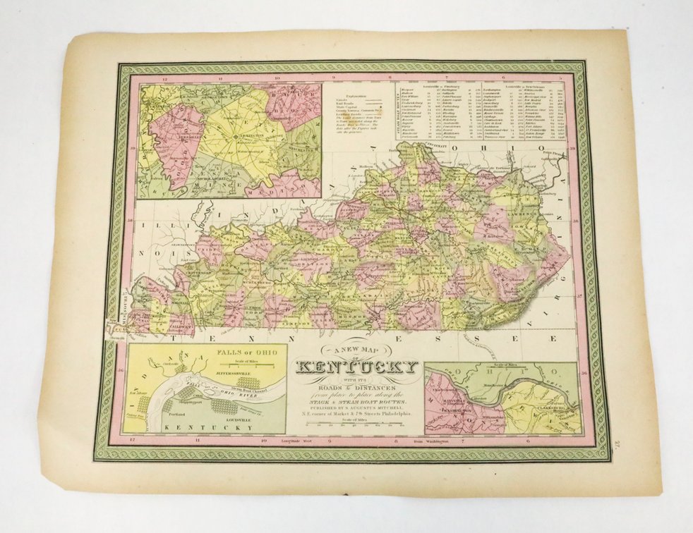
#590 • 19th-Century Hand Colored Engraved Map of Kentucky
Part of Echoes of History: Artifacts, Arms & Americana (live auction by Wardlow Auctions)
High bid $165.00
Status: SOLD
Category: Maps
19th-Century Hand Colored Engraved Map of Kentucky published by Samuel Augustus Mitchell, Jr. titled, “County Map of Kentucky and Tennessee.” Circa 1860–1865. The map features detailed county boundaries, towns, rivers, and railroads, with an inset of the Falls of the Ohio at Louisville in the upper left. The map is preserved in plastic, and shows some tears on the edges and toning due to age. Size: 16.5"w x 13.25"h