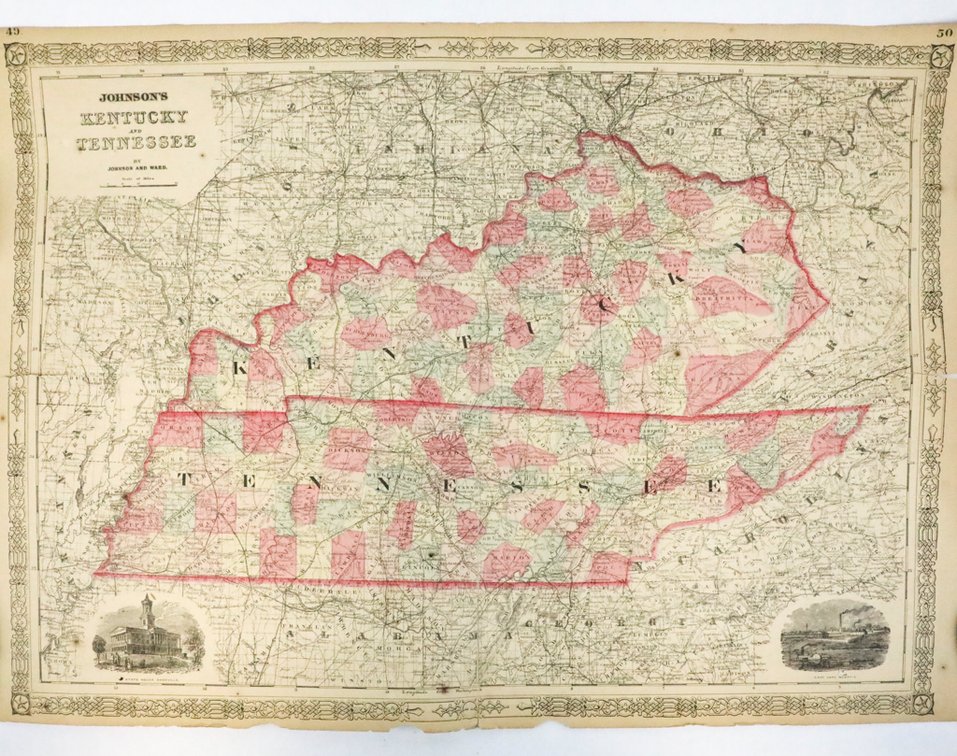
#672 • Johnson's Kentucky and Tennessee Map Circa 1860-1872
Part of Echoes of History: Artifacts, Arms & Americana (live auction by Wardlow Auctions)
High bid $55.00
Status: SOLD
Category: Maps
Johnson's Kentucky and Tennessee Map, Circa 1860-1872. Published by A.J. Johnson, featuring an ornate engraved border with repeating motifs, an inset vignette of the State Capitol at Nashville, hand-colored county outlines, and a facing page labeled, "Historical and Statistical View of the United States of America". The map shows foxing, fold marks, age tone, and some rips along the edges. Comes in a protective tube. Size: 26.25"w x 18"h