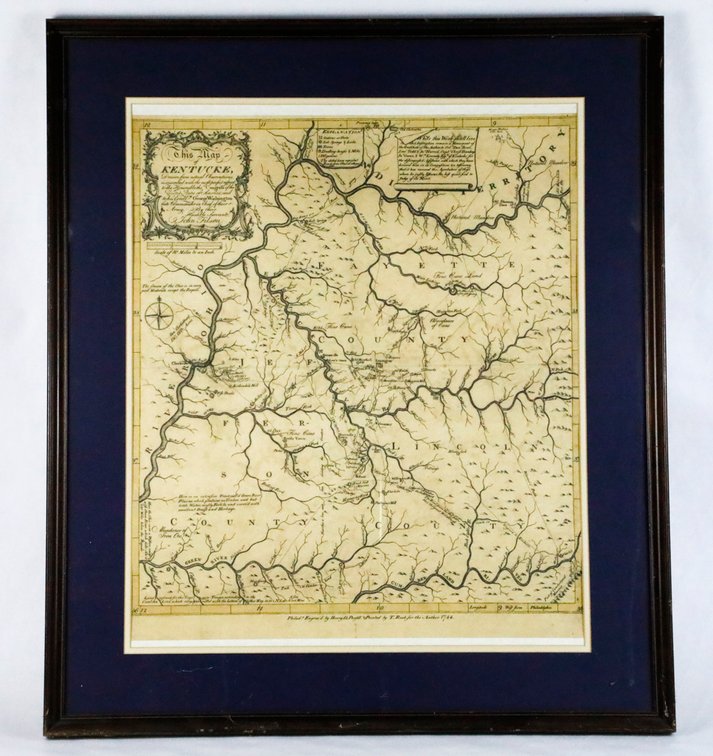
#332 • Reproduction of an Antique Map of Jefferson and Surrounding Counties, Circa 1784
Part of Curiosities Through the Ages (timed auction by Wardlow Auctions)
High bid $92.00
Status: SOLD
Category: Artwork
Reproduction of an antique map of Jefferson and surrounding counties, depicting Jefferson and surrounding counties in Kentucky. The original map is circa 1784. The map is marked, engraved by Henry D. Purfell. Printed by T. Roote for the author. The map shows "Indiana is referred to as Indian Territory, Beargrass Creek and Spring St. are marked. The Ohio river is described as every part moderate, except the rapids at Louisville. It is single matted in a dark wooden frame. Size: Frame: 26.75"w x 30.45"h Location: Quadrant 3