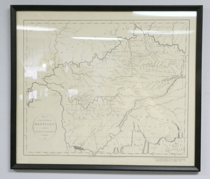
#170 • Copy of State of Kentucky Map by J. Russell, 1931
Part of 20th Century History: A Lifetime Collection (timed auction by Wardlow Auctions)
High bid $44.00
Status: SOLD
Category: Artwork
Copy of a map of the state of Kentucky and adjoining territories in 1794 by J. Russell issued by the Kentucky State Historical Society, 1931. Size: 20.75"w x 18"h Location: Left