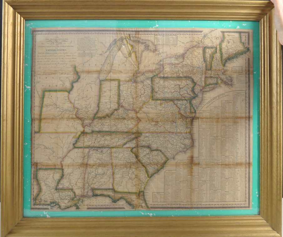
#576 • Antique Steamboat/Water Route Map
Part of Local Collector's Auction: Phase 3 (timed auction by Wardlow Auctions)
High bid $290.00
Status: SOLD
Category: Antiques
Antique steamboat/water map, a Traveler's Guide showing roads, canals, and steam boat routes by H.S. Tanner, a cartographer from Philadelphia. The map is dated May 1825. There is a table of various steamboat routes showing nautical miles. There is also a reference showing various symbols for important town, capitals and villages with roads and canals. The map is signed by the maker below the travelers guide. Map shows north to Maine, south to Florida, west to Oregon Territory and east to the Atlantic Ocean. The detailed map's condition is very readable for its age. There are some visible folds and wrinkling and perhaps some foxing. The map is placed on a teal green color paper under glass and is in a wooden frame painted gold. Size:Frame is 27.5"w x 23.5"h; exposed map area is 22.25"w x 19"h Location:Knife Room